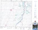
Maps showing Batoche Ferry, Saskatchewan
Batoche Ferry is a Unincorporated area located in Saskatchewan.
- Latitude: 52° 40' North (decimal: 52.6667057)
- Longitude: 106° 8' West (decimal: -106.1339008)
- Topography Feature Category: Unincorporated area
- Geographical Feature: Locality
- Canadian Province/Territory: Saskatchewan
- GPS Coordinate Locator Map: Batoche Ferry Lat/Long