Maps showing Frenchman River, 5-1-10-W3, Saskatchewan
Frenchman River is a River located in 5-1-10-W3, Saskatchewan and has an elevation of 776 meters.
- Latitude: 49° 0' North (decimal: 49.0000202)
- Longitude: 107° 18' West (decimal: -107.3006147)
- Topography Feature Category: River
- Geographical Feature: River
- Canadian Province/Territory: Saskatchewan
- Elevation: 776 meters
- Location: 5-1-10-W3
- Atlas of Canada Locator Map: Frenchman River
- GPS Coordinate Locator Map: Frenchman River Lat/Long
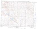
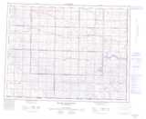
Frenchman River NTS Map Sheets
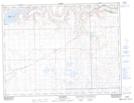
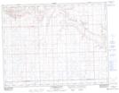
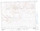
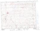
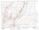
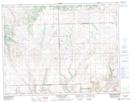
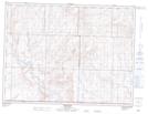
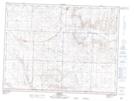
072F06 Ravenscrag Topographic Map at 1:50,000 scale
072F07 Eastbrook Coulee Topographic Map at 1:50,000 scale
072F08 Badland Lake Topographic Map at 1:50,000 scale
072F09 Shaunavon Topographic Map at 1:50,000 scale
072F10 Dollard Topographic Map at 1:50,000 scale
072F11 Fairwell Creek Topographic Map at 1:50,000 scale
072G03 Wideview Topographic Map at 1:50,000 scale
072G04 Orkney Topographic Map at 1:50,000 scale
072G05 Hillandale Topographic Map at 1:50,000 scale
072F Cypress Lake Topographic Map at 1:250,000 scale
072G Wood Mountain Topographic Map at 1:250,000 scale