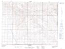
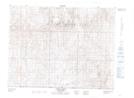
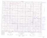
Maps showing Frontier Creek, 18-1-3-W3, Saskatchewan
Frontier Creek is a River located in 18-1-3-W3, Saskatchewan and has an elevation of 917 meters.
- Latitude: 49° 2' North (decimal: 49.0333591)
- Longitude: 106° 24' West (decimal: -106.4005871)
- Topography Feature Category: River
- Geographical Feature: Creek
- Canadian Province/Territory: Saskatchewan
- Elevation: 917 meters
- Location: 18-1-3-W3
- Atlas of Canada Locator Map: Frontier Creek
- GPS Coordinate Locator Map: Frontier Creek Lat/Long
Frontier Creek NTS Map Sheets