Maps showing Geikie River, Saskatchewan
Geikie River is a River located in Saskatchewan and has an elevation of 403 meters.
- Latitude: 57° 45' North (decimal: 57.7501281)
- Longitude: 103° 52' West (decimal: -103.8671229)
- Topography Feature Category: River
- Geographical Feature: River
- Canadian Province/Territory: Saskatchewan
- Elevation: 403 meters
- Atlas of Canada Locator Map: Geikie River
- GPS Coordinate Locator Map: Geikie River Lat/Long
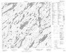
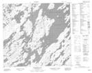
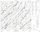
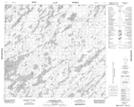
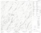
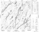
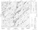
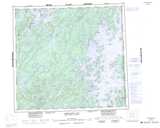
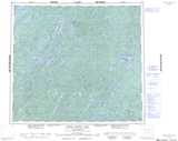
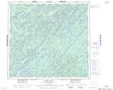
Geikie River NTS Map Sheets
064E12 Morell Lake Topographic Map at 1:50,000 scale
064E13 Nekweaga Bay Topographic Map at 1:50,000 scale
074A14 Burbidge Lake Topographic Map at 1:50,000 scale
074H02 Alexander Lake Topographic Map at 1:50,000 scale
074H03 Lockwood Lake Topographic Map at 1:50,000 scale
074H07 Hodges Lake Topographic Map at 1:50,000 scale
074H08 Beckett Lake Topographic Map at 1:50,000 scale
074H09 Mcdowell Lake Topographic Map at 1:50,000 scale
064E Compulsion Bay Topographic Map at 1:250,000 scale
074A Upper Foster Lake Topographic Map at 1:250,000 scale
074H Geikie River Topographic Map at 1:250,000 scale