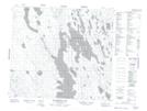
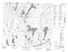
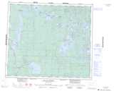
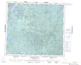
Maps showing Glansberg Lake, 80,81-13-W3, Saskatchewan
Glansberg Lake is a Lake located in 80,81-13-W3, Saskatchewan and has an elevation of 468 meters.
- Latitude: 55° 58' North (decimal: 55.9667577)
- Longitude: 107° 56' West (decimal: -107.9340270)
- Topography Feature Category: Lake
- Geographical Feature: Lake
- Canadian Province/Territory: Saskatchewan
- Elevation: 468 meters
- Location: 80,81-13-W3
- Atlas of Canada Locator Map: Glansberg Lake
- GPS Coordinate Locator Map: Glansberg Lake Lat/Long
Glansberg Lake NTS Map Sheets