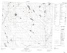
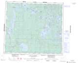
Maps showing Grant Creek, 74-10-W3, Saskatchewan
Grant Creek is a River located in 74-10-W3, Saskatchewan and has an elevation of 453 meters.
- Latitude: 55° 25' North (decimal: 55.4167555)
- Longitude: 107° 28' West (decimal: -107.4673416)
- Topography Feature Category: River
- Geographical Feature: Creek
- Canadian Province/Territory: Saskatchewan
- Elevation: 453 meters
- Location: 74-10-W3
- Atlas of Canada Locator Map: Grant Creek
- GPS Coordinate Locator Map: Grant Creek Lat/Long
Grant Creek NTS Map Sheets