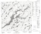
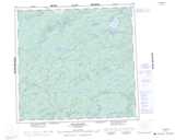
Maps showing Boll Lake, Saskatchewan
Boll Lake is a Lake located in Saskatchewan and has an elevation of 322 meters.
- Latitude: 58° 41' North (decimal: 58.6836012)
- Longitude: 109° 20' West (decimal: -109.3343115)
- Topography Feature Category: Lake
- Geographical Feature: Lake
- Canadian Province/Territory: Saskatchewan
- Elevation: 322 meters
- Atlas of Canada Locator Map: Boll Lake
- GPS Coordinate Locator Map: Boll Lake Lat/Long
Boll Lake NTS Map Sheets