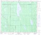
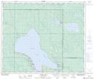
Maps showing Hanin Creek, 26-56-23-W2, Saskatchewan
Hanin Creek is a River located in 26-56-23-W2, Saskatchewan and has an elevation of 509 meters.
- Latitude: 53° 52' North (decimal: 53.8667162)
- Longitude: 105° 24' West (decimal: -105.4004681)
- Topography Feature Category: River
- Geographical Feature: Creek
- Canadian Province/Territory: Saskatchewan
- Elevation: 509 meters
- Location: 26-56-23-W2
- Atlas of Canada Locator Map: Hanin Creek
- GPS Coordinate Locator Map: Hanin Creek Lat/Long
Hanin Creek NTS Map Sheets