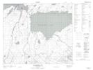
Maps showing Hart Point, Saskatchewan
Hart Point is a Cape located in Saskatchewan and has an elevation of 379 meters.
- Latitude: 54° 53' North (decimal: 54.8833973)
- Longitude: 104° 37' West (decimal: -104.6170994)
- Topography Feature Category: Cape
- Geographical Feature: Point
- Canadian Province/Territory: Saskatchewan
- Elevation: 379 meters
- Atlas of Canada Locator Map: Hart Point
- GPS Coordinate Locator Map: Hart Point Lat/Long
Hart Point NTS Map Sheets