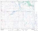
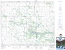
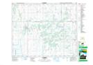
Maps showing Lac Vert Nord, 10-41-18-W2, Saskatchewan
Lac Vert Nord is a Lake located in 10-41-18-W2, Saskatchewan and has an elevation of 546 meters.
- Latitude: 52° 31' North (decimal: 52.5166766)
- Longitude: 104° 30' West (decimal: -104.5005065)
- Topography Feature Category: Lake
- Geographical Feature: Lac
- Canadian Province/Territory: Saskatchewan
- Elevation: 546 meters
- Location: 10-41-18-W2
- Atlas of Canada Locator Map: Lac Vert Nord
- GPS Coordinate Locator Map: Lac Vert Nord Lat/Long
Lac Vert Nord NTS Map Sheets