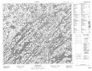
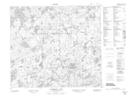
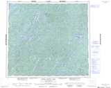
Maps showing De Armond Lake, Saskatchewan
De Armond Lake is a Lake located in Saskatchewan and has an elevation of 476 meters.
- Latitude: 56° 1' North (decimal: 56.0167441)
- Longitude: 104° 27' West (decimal: -104.4504402)
- Topography Feature Category: Lake
- Geographical Feature: Lake
- Canadian Province/Territory: Saskatchewan
- Elevation: 476 meters
- Atlas of Canada Locator Map: De Armond Lake
- GPS Coordinate Locator Map: De Armond Lake Lat/Long
De Armond Lake NTS Map Sheets