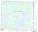
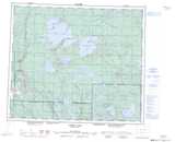
Maps showing Lone Island Lake, 35-59-4-W3, Saskatchewan
Lone Island Lake is a Lake located in 35-59-4-W3, Saskatchewan and has an elevation of 598 meters.
- Latitude: 54° 9' North (decimal: 54.1500552)
- Longitude: 106° 29' West (decimal: -106.4838604)
- Topography Feature Category: Lake
- Geographical Feature: Lake
- Canadian Province/Territory: Saskatchewan
- Elevation: 598 meters
- Location: 35-59-4-W3
- Atlas of Canada Locator Map: Lone Island Lake
- GPS Coordinate Locator Map: Lone Island Lake Lat/Long
Lone Island Lake NTS Map Sheets