Canada Topographic Maps

Long Creek Topo Maps

Topography maps and Latitude/Longitude Location

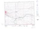
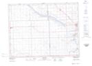
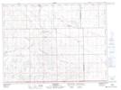
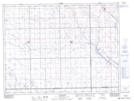
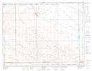
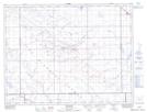
Maps showing Long Creek, 15-2-8-W2, Saskatchewan

Long Creek is a River located in 15-2-8-W2, Saskatchewan and has an elevation of 540 meters.

  • Latitude: 49° 7' North   (decimal: 49.1167015)
  • Longitude: 102° 59' West   (decimal: -102.9837917)
  • Topography Feature Category: River
  • Geographical Feature: Creek
  • Canadian Province/Territory: Saskatchewan
  • Elevation: 540 meters
  • Location: 15-2-8-W2
  • Atlas of Canada Locator Map: Long Creek
  • GPS Coordinate Locator Map: Long Creek Lat/Long

Long Creek NTS Map Sheets

062E02 Estevan Topographic Map at 1:50,000 scale

062E03 Hitchcock Topographic Map at 1:50,000 scale

062E04 Bromhead Topographic Map at 1:50,000 scale

062E05 Goodwater Topographic Map at 1:50,000 scale

072H08 Radville Topographic Map at 1:50,000 scale

072H09 Trossachs Topographic Map at 1:50,000 scale

062E Weyburn Topographic Map at 1:250,000 scale

072H Willow Bunch Lake Topographic Map at 1:250,000 scale

 
Buy Topographic Maps DVD
Newsletter Sign-up

Yes, I want to receive map store discounts.


Bookmark and Share