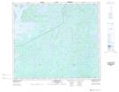
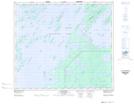
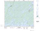
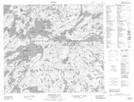
Maps showing Patterson Peninsula, Saskatchewan
Patterson Peninsula is a Cape located in Saskatchewan and has an elevation of 372 meters.
- Latitude: 55° 13' North (decimal: 55.2167358)
- Longitude: 104° 33' West (decimal: -104.5504323)
- Topography Feature Category: Cape
- Geographical Feature: Peninsula
- Canadian Province/Territory: Saskatchewan
- Elevation: 372 meters
- Atlas of Canada Locator Map: Patterson Peninsula
- GPS Coordinate Locator Map: Patterson Peninsula Lat/Long
Patterson Peninsula NTS Map Sheets