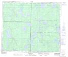
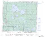
Maps showing Dugout Lake, 18-60-6-W3, Saskatchewan
Dugout Lake is a Lake located in 18-60-6-W3, Saskatchewan and has an elevation of 559 meters.
- Latitude: 54° 12' North (decimal: 54.2000595)
- Longitude: 106° 53' West (decimal: -106.8838882)
- Topography Feature Category: Lake
- Geographical Feature: Lake
- Canadian Province/Territory: Saskatchewan
- Elevation: 559 meters
- Location: 18-60-6-W3
- Atlas of Canada Locator Map: Dugout Lake
- GPS Coordinate Locator Map: Dugout Lake Lat/Long
Dugout Lake NTS Map Sheets