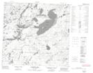
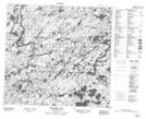
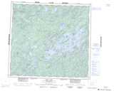
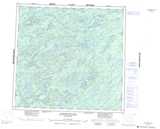
Maps showing Looysen Lake, Saskatchewan
Looysen Lake is a Lake located in Saskatchewan and has an elevation of 477 meters.
- Latitude: 58° 0' North (decimal: 58.0001342)
- Longitude: 107° 8' West (decimal: -107.1340326)
- Topography Feature Category: Lake
- Geographical Feature: Lake
- Canadian Province/Territory: Saskatchewan
- Elevation: 477 meters
- Atlas of Canada Locator Map: Looysen Lake
- GPS Coordinate Locator Map: Looysen Lake Lat/Long
Looysen Lake NTS Map Sheets