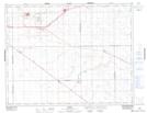
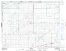
Maps showing St. Josephs Colony, Saskatchewan
St. Josephs Colony is a Unincorporated area located in Saskatchewan.
- Latitude: 50° 30' North (decimal: 50.5000393)
- Longitude: 104° 11' West (decimal: -104.1838701)
- Topography Feature Category: Unincorporated area
- Geographical Feature: Hamlet
- Canadian Province/Territory: Saskatchewan
- GPS Coordinate Locator Map: St. Josephs Colony Lat/Long
St. Josephs Colony NTS Map Sheets