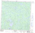
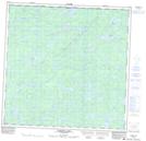
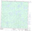
Maps showing Sanderson River, Saskatchewan
Sanderson River is a River located in Saskatchewan and has an elevation of 415 meters.
- Latitude: 59° 44' North (decimal: 59.7336165)
- Longitude: 107° 38' West (decimal: -107.6342833)
- Topography Feature Category: River
- Geographical Feature: River
- Canadian Province/Territory: Saskatchewan
- Elevation: 415 meters
- Atlas of Canada Locator Map: Sanderson River
- GPS Coordinate Locator Map: Sanderson River Lat/Long
Sanderson River NTS Map Sheets