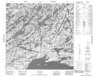
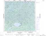
Maps showing Pluto Point, Saskatchewan
Pluto Point is a Cape located in Saskatchewan and has an elevation of 256 meters.
- Latitude: 59° 17' North (decimal: 59.2834946)
- Longitude: 105° 6' West (decimal: -105.1006356)
- Topography Feature Category: Cape
- Geographical Feature: Point
- Canadian Province/Territory: Saskatchewan
- Elevation: 256 meters
- Atlas of Canada Locator Map: Pluto Point
- GPS Coordinate Locator Map: Pluto Point Lat/Long
Pluto Point NTS Map Sheets