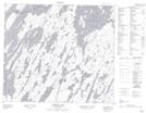
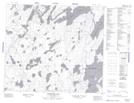
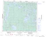
Maps showing Elliott Island, Saskatchewan
Elliott Island is a Island located in Saskatchewan.
- Latitude: 55° 38' North (decimal: 55.6334025)
- Longitude: 106° 29' West (decimal: -106.4838653)
- Topography Feature Category: Island
- Geographical Feature: Island
- Canadian Province/Territory: Saskatchewan
- Atlas of Canada Locator Map: Elliott Island
- GPS Coordinate Locator Map: Elliott Island Lat/Long
Elliott Island NTS Map Sheets