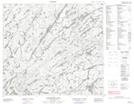
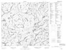
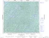
Maps showing Sheldon Lake, Saskatchewan
Sheldon Lake is a Lake located in Saskatchewan and has an elevation of 446 meters.
- Latitude: 56° 49' North (decimal: 56.8167596)
- Longitude: 104° 34' West (decimal: -104.5671314)
- Topography Feature Category: Lake
- Geographical Feature: Lake
- Canadian Province/Territory: Saskatchewan
- Elevation: 446 meters
- Atlas of Canada Locator Map: Sheldon Lake
- GPS Coordinate Locator Map: Sheldon Lake Lat/Long
Sheldon Lake NTS Map Sheets