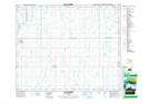
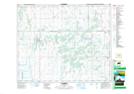
Maps showing Ranch Lake, 40,41-20-W2, Saskatchewan
Ranch Lake is a Lake located in 40,41-20-W2, Saskatchewan and has an elevation of 558 meters.
- Latitude: 52° 30' North (decimal: 52.5000150)
- Longitude: 104° 46' West (decimal: -104.7671853)
- Topography Feature Category: Lake
- Geographical Feature: Lake
- Canadian Province/Territory: Saskatchewan
- Elevation: 558 meters
- Location: 40,41-20-W2
- Atlas of Canada Locator Map: Ranch Lake
- GPS Coordinate Locator Map: Ranch Lake Lat/Long
Ranch Lake NTS Map Sheets