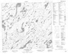
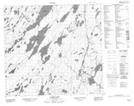
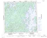
Maps showing Ettle Creek, Saskatchewan
Ettle Creek is a River located in Saskatchewan and has an elevation of 381 meters.
- Latitude: 57° 33' North (decimal: 57.5501251)
- Longitude: 103° 7' West (decimal: -103.1170819)
- Topography Feature Category: River
- Geographical Feature: Creek
- Canadian Province/Territory: Saskatchewan
- Elevation: 381 meters
- Atlas of Canada Locator Map: Ettle Creek
- GPS Coordinate Locator Map: Ettle Creek Lat/Long
Ettle Creek NTS Map Sheets