Canada Topographic Maps

Ustookumin Creek Topo Maps

Topography maps and Latitude/Longitude Location

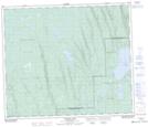
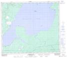
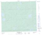
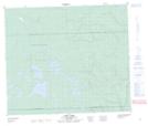
Maps showing Ustookumin Creek, Saskatchewan

Ustookumin Creek is a River located in Saskatchewan and has an elevation of 603 meters.

  • Latitude: 54° 47' North   (decimal: 54.7834170)
  • Longitude: 109° 31' West   (decimal: -109.5174841)
  • Topography Feature Category: River
  • Geographical Feature: Creek
  • Canadian Province/Territory: Saskatchewan
  • Elevation: 603 meters
  • Atlas of Canada Locator Map: Ustookumin Creek
  • GPS Coordinate Locator Map: Ustookumin Creek Lat/Long

Ustookumin Creek NTS Map Sheets

073K10 Flotten Lake Topographic Map at 1:50,000 scale

073K13 Primrose Lake Topographic Map at 1:50,000 scale

073K14 Kesatasew Lake Topographic Map at 1:50,000 scale

073K15 Lost Lake Topographic Map at 1:50,000 scale

073K Waterhen River Topographic Map at 1:250,000 scale

 
Buy Topographic Maps DVD
Newsletter Sign-up

Yes, I want to receive map store discounts.


Bookmark and Share