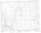
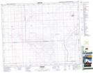
Maps showing Smith Creek, 31-23-15-W3, Saskatchewan
Smith Creek is a River located in 31-23-15-W3, Saskatchewan and has an elevation of 660 meters.
- Latitude: 51° 0' North (decimal: 51.0000448)
- Longitude: 108° 4' West (decimal: -108.0673560)
- Topography Feature Category: River
- Geographical Feature: Creek
- Canadian Province/Territory: Saskatchewan
- Elevation: 660 meters
- Location: 31-23-15-W3
- Atlas of Canada Locator Map: Smith Creek
- GPS Coordinate Locator Map: Smith Creek Lat/Long
Smith Creek NTS Map Sheets