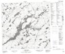
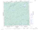
Maps showing Smith Island, Saskatchewan
Smith Island is a Island located in Saskatchewan.
- Latitude: 58° 39' North (decimal: 58.6502687)
- Longitude: 109° 16' West (decimal: -109.2676416)
- Topography Feature Category: Island
- Geographical Feature: Island
- Canadian Province/Territory: Saskatchewan
- GPS Coordinate Locator Map: Smith Island Lat/Long
Smith Island NTS Map Sheets