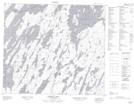
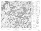
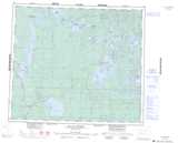
Maps showing Smith-Jones Lake, Saskatchewan
Smith-Jones Lake is a Lake located in Saskatchewan and has an elevation of 393 meters.
- Latitude: 55° 33' North (decimal: 55.5500681)
- Longitude: 106° 0' West (decimal: -106.0004984)
- Topography Feature Category: Lake
- Geographical Feature: Lake
- Canadian Province/Territory: Saskatchewan
- Elevation: 393 meters
- Atlas of Canada Locator Map: Smith-Jones Lake
- GPS Coordinate Locator Map: Smith-Jones Lake Lat/Long
Smith-Jones Lake NTS Map Sheets