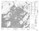
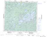
Maps showing Rushmer Island, Saskatchewan
Rushmer Island is a Island located in Saskatchewan.
- Latitude: 57° 40' North (decimal: 57.6667820)
- Longitude: 106° 16' West (decimal: -106.2672901)
- Topography Feature Category: Island
- Geographical Feature: Island
- Canadian Province/Territory: Saskatchewan
- GPS Coordinate Locator Map: Rushmer Island Lat/Long
Rushmer Island NTS Map Sheets