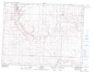
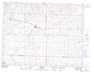
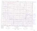
Maps showing Russell Creek, 9-11-10-W3, Saskatchewan
Russell Creek is a River located in 9-11-10-W3, Saskatchewan and has an elevation of 760 meters.
- Latitude: 49° 54' North (decimal: 49.9000304)
- Longitude: 107° 19' West (decimal: -107.3173189)
- Topography Feature Category: River
- Geographical Feature: Creek
- Canadian Province/Territory: Saskatchewan
- Elevation: 760 meters
- Location: 9-11-10-W3
- Atlas of Canada Locator Map: Russell Creek
- GPS Coordinate Locator Map: Russell Creek Lat/Long
Russell Creek NTS Map Sheets