Canada Topographic Maps

Ward Creek Topo Maps

Topography maps and Latitude/Longitude Location

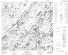
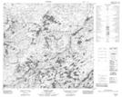
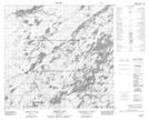
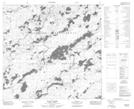
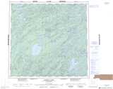
Maps showing Ward Creek, Saskatchewan

Ward Creek is a River located in Saskatchewan and has an elevation of 420 meters.

  • Latitude: 58° 37' North   (decimal: 58.6168124)
  • Longitude: 104° 40' West   (decimal: -104.6672239)
  • Topography Feature Category: River
  • Geographical Feature: Creek
  • Canadian Province/Territory: Saskatchewan
  • Elevation: 420 meters
  • Atlas of Canada Locator Map: Ward Creek
  • GPS Coordinate Locator Map: Ward Creek Lat/Long

Ward Creek NTS Map Sheets

074I02 Blixrud Lake Topographic Map at 1:50,000 scale

074I03 Nichol Lake Topographic Map at 1:50,000 scale

074I07 Theriau Lake Topographic Map at 1:50,000 scale

074I10 Ward Lakes Topographic Map at 1:50,000 scale

074I Pasfield Lake Topographic Map at 1:250,000 scale

 
Buy Topographic Maps DVD
Newsletter Sign-up

Yes, I want to receive map store discounts.


Bookmark and Share