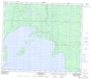
Maps showing SprucePoint, Saskatchewan
SprucePoint is a Cape located in Saskatchewan and has an elevation of 461 meters.
- Latitude: 54° 49' North (decimal: 54.8167444)
- Longitude: 107° 10' West (decimal: -107.1672931)
- Topography Feature Category: Cape
- Geographical Feature: Point
- Canadian Province/Territory: Saskatchewan
- Elevation: 461 meters
- Atlas of Canada Locator Map: SprucePoint
- GPS Coordinate Locator Map: SprucePoint Lat/Long
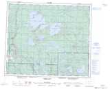
SprucePoint NTS Map Sheets