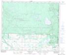
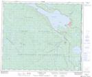
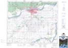
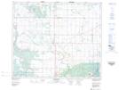
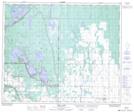
Maps showing Spruce River, 15-49-26-W2, Saskatchewan
Spruce River is a River located in 15-49-26-W2, Saskatchewan and has an elevation of 509 meters.
- Latitude: 53° 13' North (decimal: 53.2167062)
- Longitude: 105° 43' West (decimal: -105.7171721)
- Topography Feature Category: River
- Geographical Feature: River
- Canadian Province/Territory: Saskatchewan
- Elevation: 509 meters
- Location: 15-49-26-W2
- Atlas of Canada Locator Map: Spruce River
- GPS Coordinate Locator Map: Spruce River Lat/Long
Spruce River NTS Map Sheets
073G09 Halkett Lake Topographic Map at 1:50,000 scale
073G16 Waskesiu Lake Topographic Map at 1:50,000 scale
073H04 Prince Albert Topographic Map at 1:50,000 scale
073H05 Henribourg Topographic Map at 1:50,000 scale
073H12 Emma Lake Topographic Map at 1:50,000 scale
073G Shellbrook Topographic Map at 1:250,000 scale
073H Prince Albert Topographic Map at 1:250,000 scale