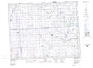
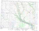
Maps showing Stony Creek, 24-27-31-W, Saskatchewan
Stony Creek is a River located in 24-27-31-W, Saskatchewan and has an elevation of 517 meters.
- Latitude: 51° 21' North (decimal: 51.3499914)
- Longitude: 101° 43' West (decimal: -101.7171279)
- Topography Feature Category: River
- Geographical Feature: Creek
- Canadian Province/Territory: Saskatchewan
- Elevation: 517 meters
- Location: 24-27-31-W
- Atlas of Canada Locator Map: Stony Creek
- GPS Coordinate Locator Map: Stony Creek Lat/Long
Stony Creek NTS Map Sheets