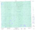
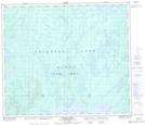
Maps showing Bouvier Creek, 70-24-W3, Saskatchewan
Bouvier Creek is a River located in 70-24-W3, Saskatchewan and has an elevation of 633 meters.
- Latitude: 55° 4' North (decimal: 55.0667556)
- Longitude: 109° 39' West (decimal: -109.6508345)
- Topography Feature Category: River
- Geographical Feature: Creek
- Canadian Province/Territory: Saskatchewan
- Elevation: 633 meters
- Location: 70-24-W3
- Atlas of Canada Locator Map: Bouvier Creek
- GPS Coordinate Locator Map: Bouvier Creek Lat/Long
Bouvier Creek NTS Map Sheets