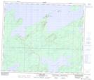
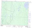
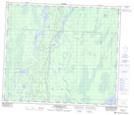
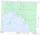
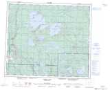
Maps showing Bazill Bay, Saskatchewan
Bazill Bay is a Bay located in Saskatchewan and has an elevation of 458 meters.
- Latitude: 54° 43' North (decimal: 54.7167545)
- Longitude: 107° 32' West (decimal: -107.5340143)
- Topography Feature Category: Bay
- Geographical Feature: Bay
- Canadian Province/Territory: Saskatchewan
- Elevation: 458 meters
- Atlas of Canada Locator Map: Bazill Bay
- GPS Coordinate Locator Map: Bazill Bay Lat/Long
Bazill Bay NTS Map Sheets