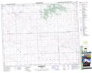
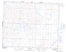
Maps showing The Bear Hills, Saskatchewan
The Bear Hills is a Mountain located in Saskatchewan and has an elevation of 704 meters.
- Latitude: 51° 52' North (decimal: 51.8667172)
- Longitude: 108° 12' West (decimal: -108.2006914)
- Topography Feature Category: Mountain
- Geographical Feature: Hills
- Canadian Province/Territory: Saskatchewan
- Elevation: 704 meters
- Atlas of Canada Locator Map: The Bear Hills
- GPS Coordinate Locator Map: The Bear Hills Lat/Long
The Bear Hills NTS Map Sheets