Canada Topographic Maps

Beaver Hills Topo Maps

Topography maps and Latitude/Longitude Location

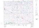
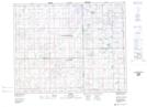
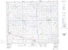
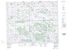
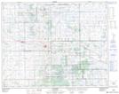
Maps showing Beaver Hills, Saskatchewan

Beaver Hills is a Mountain located in Saskatchewan and has an elevation of 652 meters.

  • Latitude: 51° 18' North   (decimal: 51.3000138)
  • Longitude: 103° 26' West   (decimal: -103.4338440)
  • Topography Feature Category: Mountain
  • Geographical Feature: Hills
  • Canadian Province/Territory: Saskatchewan
  • Elevation: 652 meters
  • Atlas of Canada Locator Map: Beaver Hills
  • GPS Coordinate Locator Map: Beaver Hills Lat/Long

Beaver Hills NTS Map Sheets

062M03 Goodeve Topographic Map at 1:50,000 scale

062M04 Jasmin Topographic Map at 1:50,000 scale

062M05 Kelliher Topographic Map at 1:50,000 scale

062M06 Parkerview Topographic Map at 1:50,000 scale

072P08 Punnichy Topographic Map at 1:50,000 scale

062M Yorkton Topographic Map at 1:250,000 scale

072P Wynyard Topographic Map at 1:250,000 scale

 
Buy Topographic Maps DVD
Newsletter Sign-up

Yes, I want to receive map store discounts.


Bookmark and Share