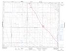
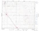
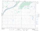
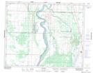
Maps showing Brightwater Creek, 1-35-6-W3, Saskatchewan
Brightwater Creek is a River located in 1-35-6-W3, Saskatchewan and has an elevation of 508 meters.
- Latitude: 51° 59' North (decimal: 51.9833757)
- Longitude: 106° 44' West (decimal: -106.7339500)
- Topography Feature Category: River
- Geographical Feature: Creek
- Canadian Province/Territory: Saskatchewan
- Elevation: 508 meters
- Location: 1-35-6-W3
- Atlas of Canada Locator Map: Brightwater Creek
- GPS Coordinate Locator Map: Brightwater Creek Lat/Long
Brightwater Creek NTS Map Sheets