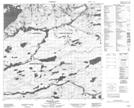
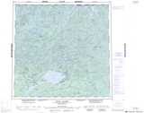
Maps showing Brink Rapids, Saskatchewan
Brink Rapids is a Rapids located in Saskatchewan and has an elevation of 346 meters.
- Latitude: 59° 2' North (decimal: 59.0334890)
- Longitude: 104° 41' West (decimal: -104.6839292)
- Topography Feature Category: Rapids
- Geographical Feature: Rapids
- Canadian Province/Territory: Saskatchewan
- Elevation: 346 meters
- Atlas of Canada Locator Map: Brink Rapids
- GPS Coordinate Locator Map: Brink Rapids Lat/Long
Brink Rapids NTS Map Sheets