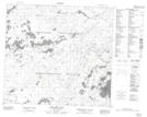
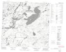
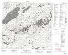
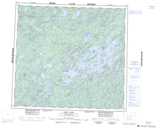
Maps showing Brown River, Saskatchewan
Brown River is a River located in Saskatchewan and has an elevation of 460 meters.
- Latitude: 57° 52' North (decimal: 57.8667946)
- Longitude: 106° 58' West (decimal: -106.9673457)
- Topography Feature Category: River
- Geographical Feature: River
- Canadian Province/Territory: Saskatchewan
- Elevation: 460 meters
- Atlas of Canada Locator Map: Brown River
- GPS Coordinate Locator Map: Brown River Lat/Long
Brown River NTS Map Sheets