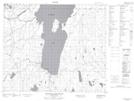
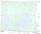
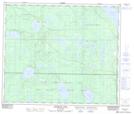
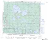
Maps showing MacLennan River, 60-26-W2, Saskatchewan
MacLennan River is a River located in 60-26-W2, Saskatchewan and has an elevation of 518 meters.
- Latitude: 54° 12' North (decimal: 54.2000517)
- Longitude: 105° 50' West (decimal: -105.8338182)
- Topography Feature Category: River
- Geographical Feature: River
- Canadian Province/Territory: Saskatchewan
- Elevation: 518 meters
- Location: 60-26-W2
- Atlas of Canada Locator Map: MacLennan River
- GPS Coordinate Locator Map: MacLennan River Lat/Long
MacLennan River NTS Map Sheets