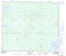
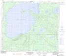
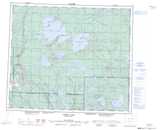
Maps showing Mahigan Creek, Saskatchewan
Mahigan Creek is a River located in Saskatchewan and has an elevation of 474 meters.
- Latitude: 54° 41' North (decimal: 54.6833862)
- Longitude: 106° 41' West (decimal: -106.6838571)
- Topography Feature Category: River
- Geographical Feature: Creek
- Canadian Province/Territory: Saskatchewan
- Elevation: 474 meters
- Atlas of Canada Locator Map: Mahigan Creek
- GPS Coordinate Locator Map: Mahigan Creek Lat/Long
Mahigan Creek NTS Map Sheets