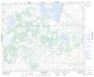
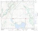
Maps showing Manito Island, Saskatchewan
Manito Island is a Island located in Saskatchewan.
- Latitude: 52° 45' North (decimal: 52.7500763)
- Longitude: 109° 43' West (decimal: -109.7174238)
- Topography Feature Category: Island
- Geographical Feature: Island
- Canadian Province/Territory: Saskatchewan
- GPS Coordinate Locator Map: Manito Island Lat/Long
Manito Island NTS Map Sheets