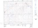
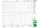
Maps showing Mantario, 34-26-27-W3, Saskatchewan
Mantario is a Hamlet located in 34-26-27-W3, Saskatchewan and has an elevation of 693 meters.
- Latitude: 51° 52' 27'' North (decimal: 51.8742499)
- Longitude: 109° 36' 48'' West (decimal: -109.6132808)
- Topography Feature Category: Hamlet
- Geographical Feature: Hamlet
- Canadian Province/Territory: Saskatchewan
- Elevation: 693 meters
- Location: 34-26-27-W3
- Atlas of Canada Locator Map: Mantario
- GPS Coordinate Locator Map: Mantario Lat/Long
Mantario NTS Map Sheets