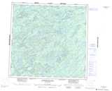
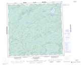
Maps showing Marsin River, Saskatchewan
Marsin River is a River located in Saskatchewan and has an elevation of 496 meters.
- Latitude: 58° 17' North (decimal: 58.2835578)
- Longitude: 107° 54' West (decimal: -107.9008643)
- Topography Feature Category: River
- Geographical Feature: River
- Canadian Province/Territory: Saskatchewan
- Elevation: 496 meters
- Atlas of Canada Locator Map: Marsin River
- GPS Coordinate Locator Map: Marsin River Lat/Long
Marsin River NTS Map Sheets