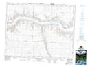
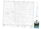
Maps showing Matador Creek, 15-20-14-W3, Saskatchewan
Matador Creek is a River located in 15-20-14-W3, Saskatchewan and has an elevation of 582 meters.
- Latitude: 50° 42' North (decimal: 50.7000383)
- Longitude: 107° 52' West (decimal: -107.8673443)
- Topography Feature Category: River
- Geographical Feature: Creek
- Canadian Province/Territory: Saskatchewan
- Elevation: 582 meters
- Location: 15-20-14-W3
- Atlas of Canada Locator Map: Matador Creek
- GPS Coordinate Locator Map: Matador Creek Lat/Long
Matador Creek NTS Map Sheets