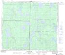
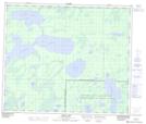
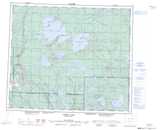
Maps showing Mitawanga Creek, 8-61-5-W3, Saskatchewan
Mitawanga Creek is a River located in 8-61-5-W3, Saskatchewan and has an elevation of 539 meters.
- Latitude: 54° 16' North (decimal: 54.2667248)
- Longitude: 106° 43' West (decimal: -106.7172097)
- Topography Feature Category: River
- Geographical Feature: Creek
- Canadian Province/Territory: Saskatchewan
- Elevation: 539 meters
- Location: 8-61-5-W3
- Atlas of Canada Locator Map: Mitawanga Creek
- GPS Coordinate Locator Map: Mitawanga Creek Lat/Long
Mitawanga Creek NTS Map Sheets