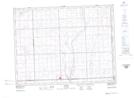
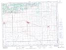
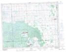
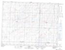
Maps showing Auburnton Creek, 14-4-34-W, Saskatchewan
Auburnton Creek is a River located in 14-4-34-W, Saskatchewan and has an elevation of 572 meters.
- Latitude: 49° 18' North (decimal: 49.3000195)
- Longitude: 101° 58' West (decimal: -101.9671186)
- Topography Feature Category: River
- Geographical Feature: Creek
- Canadian Province/Territory: Saskatchewan
- Elevation: 572 meters
- Location: 14-4-34-W
- Atlas of Canada Locator Map: Auburnton Creek
- GPS Coordinate Locator Map: Auburnton Creek Lat/Long
Auburnton Creek NTS Map Sheets