Maps showing Mostoos Hills, Saskatchewan
Mostoos Hills is a Mountain located in Saskatchewan and has an elevation of 650 meters.
- Latitude: 54° 50' North (decimal: 54.8334221)
- Longitude: 109° 10' West (decimal: -109.1674637)
- Topography Feature Category: Mountain
- Geographical Feature: Hills
- Canadian Province/Territory: Saskatchewan
- Elevation: 650 meters
- Atlas of Canada Locator Map: Mostoos Hills
- GPS Coordinate Locator Map: Mostoos Hills Lat/Long
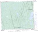
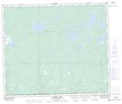
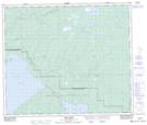
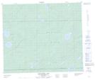
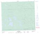
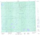
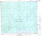
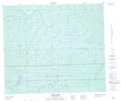
Mostoos Hills NTS Map Sheets
073K10 Flotten Lake Topographic Map at 1:50,000 scale
073K11 Muskeg Lake Topographic Map at 1:50,000 scale
073K12 Cold River Topographic Map at 1:50,000 scale
073K14 Kesatasew Lake Topographic Map at 1:50,000 scale
073K15 Lost Lake Topographic Map at 1:50,000 scale
073N03 Carlton Lake Topographic Map at 1:50,000 scale
073N04 Calder River Topographic Map at 1:50,000 scale
073N06 Nipin Lake Topographic Map at 1:50,000 scale
073K Waterhen River Topographic Map at 1:250,000 scale
073N Buffalo Narrows Topographic Map at 1:250,000 scale