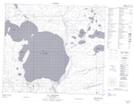
Maps showing Weber Bay, Saskatchewan
Weber Bay is a Bay located in Saskatchewan and has an elevation of 448 meters.
- Latitude: 55° 10' North (decimal: 55.1667557)
- Longitude: 107° 27' West (decimal: -107.4506776)
- Topography Feature Category: Bay
- Geographical Feature: Bay
- Canadian Province/Territory: Saskatchewan
- Elevation: 448 meters
- Atlas of Canada Locator Map: Weber Bay
- GPS Coordinate Locator Map: Weber Bay Lat/Long
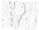
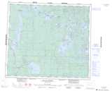
Weber Bay NTS Map Sheets